
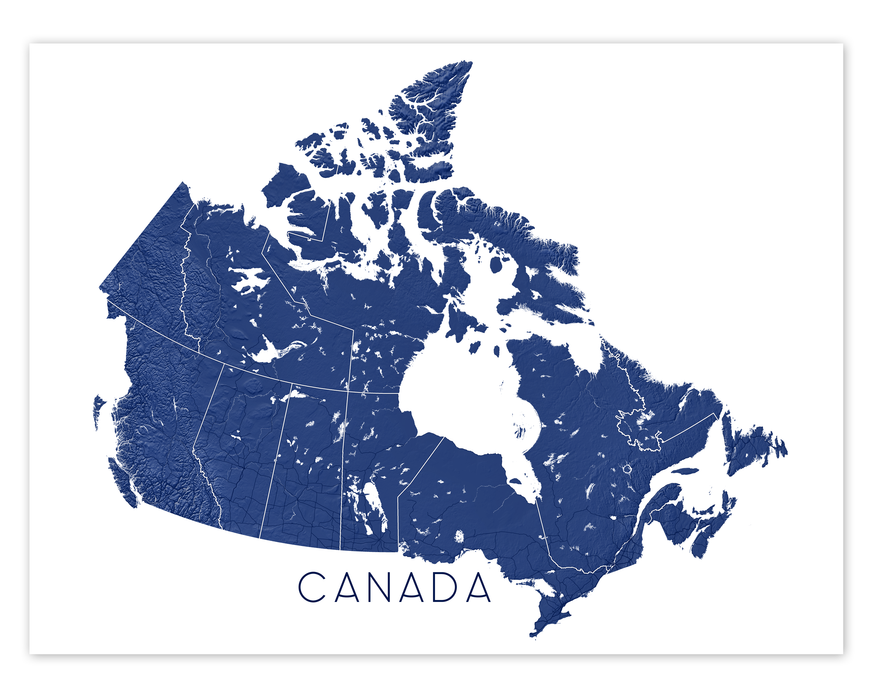


Canada Map Wall Art Print: Topographic Map Poster of Canadian Provinces and Highways
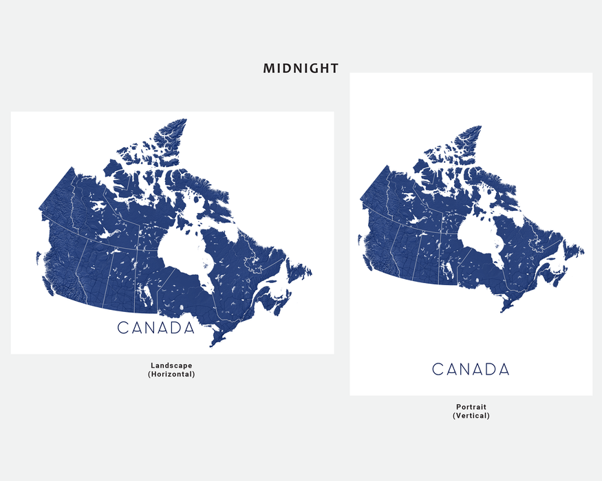
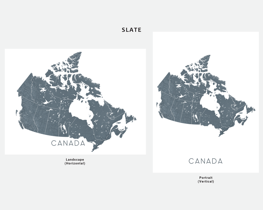
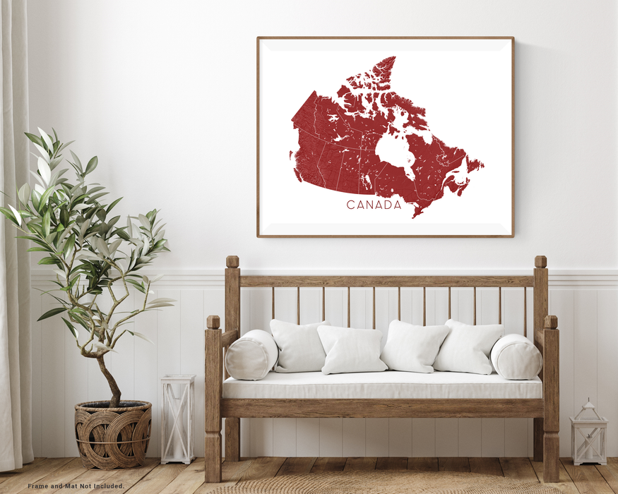
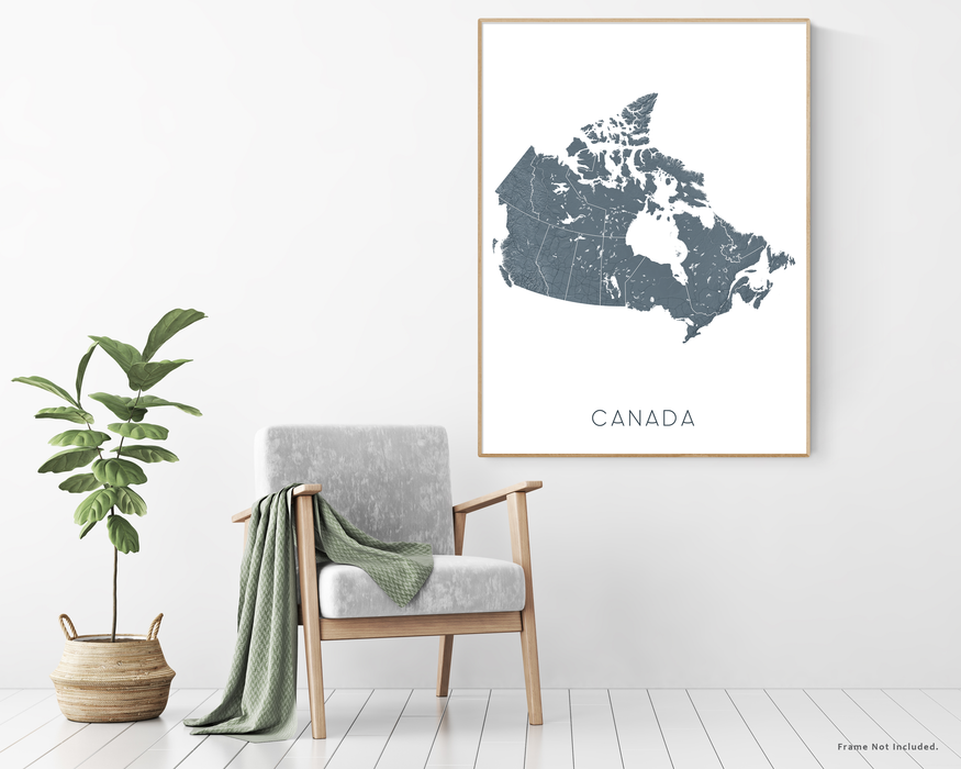
This Canada map is all about scale, landscape, and connection. Provincial and territorial boundaries are clearly defined, major highways are shown, and subtle topographic relief highlights mountain ranges, plains, and coastlines across the country.
Key cities like Vancouver, Calgary, Edmonton, Winnipeg, Toronto, Ottawa, Montréal, Québec City, and Halifax are visible, giving the map both visual interest and real-world context. It’s easy to trace familiar routes, revisit favourite places, or explore parts of Canada you’ve yet to see.
Designed to feel detailed without being overwhelming, this map works beautifully as large wall art for a home office, living room, classroom, or workspace. It’s a great choice for road-trip lovers, geography fans, and anyone who feels connected to Canada’s landscapes.
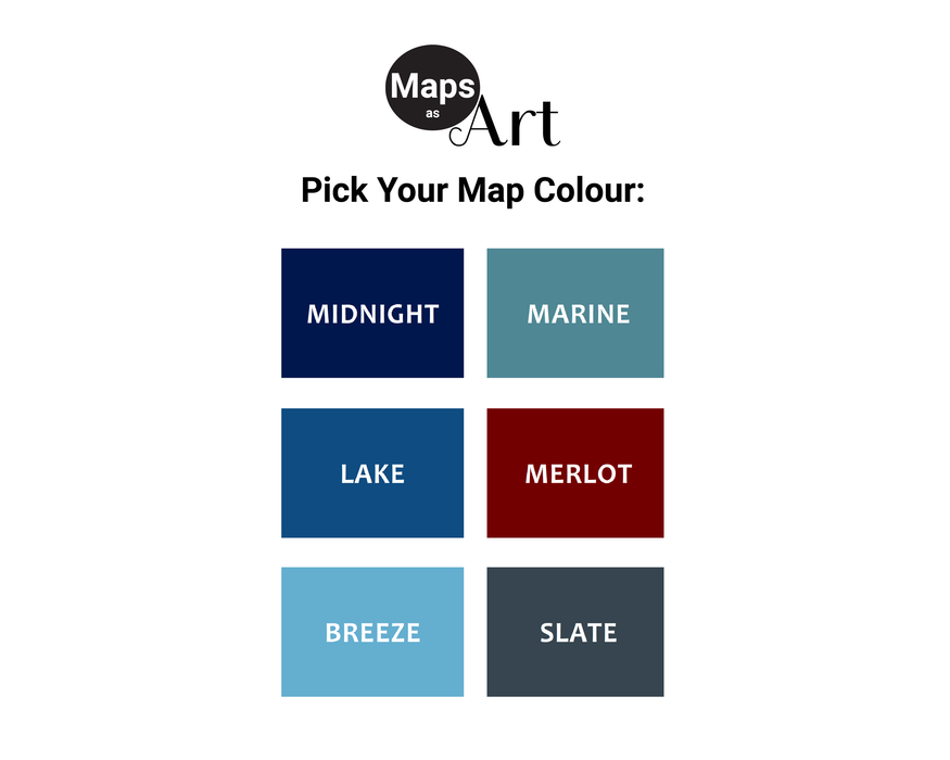
😀 CUSTOMIZE IT. Choose from:
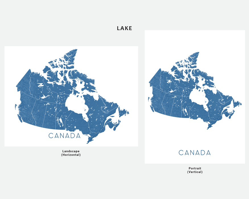
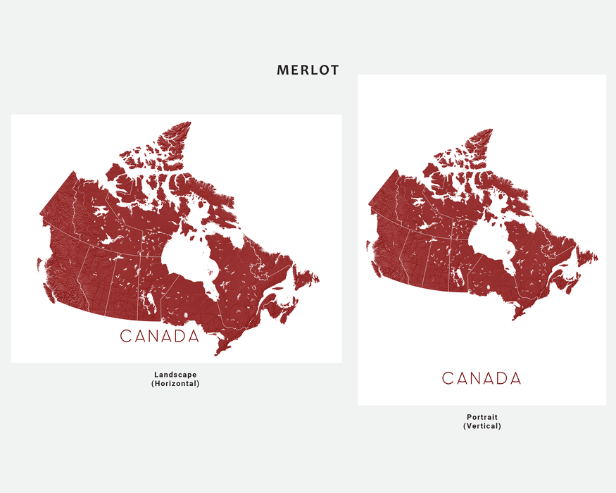
- Six colours to suit your home or office decor.
- Eight sizes from print to poster to fit your wall space.
- Page orientation - Portrait or Landscape.
Maps As Art prints are designed and made by us in our studio using premium quality papers and inks with professional grade printers.
- Print only (frame/mat not included).
- Digital downloads not available.